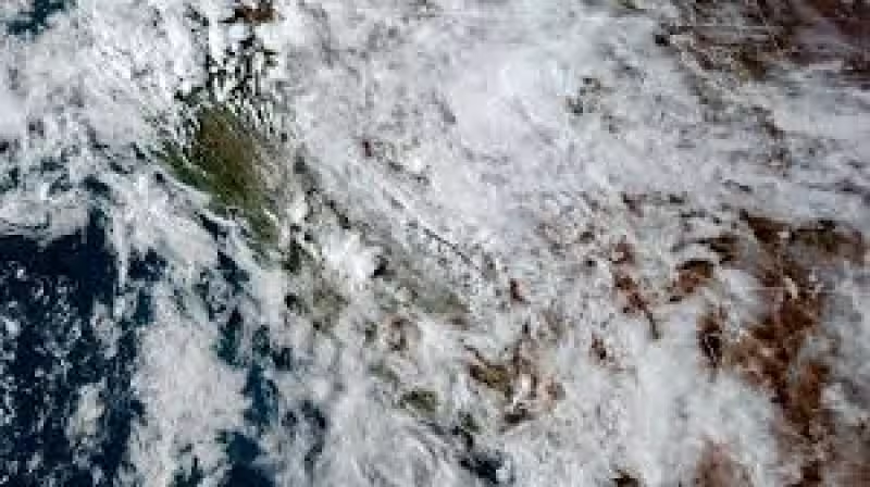
A tornado warning was issued Thursday evening for parts of California as a volatile spring storm pushed through the Central Valley, with forecasters saying a severe thunderstorm capable of producing a tornado was located near South Dos Palos and moving northeast at 15 mph. The warning was set to stay in effect until 6:45 p.m.
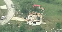
The storm was expected to affect mainly rural parts of southwestern Madera and western Fresno counties. A separate severe thunderstorm warning said the same system could produce 70 mph wind gusts and quarter-size hail, while the weather service warned that flying debris would be dangerous to anyone without shelter.
Officials said damage to roofs, windows and vehicles would occur and that tree damage was likely. Residents in the warning area were urged to take shelter immediately, moving to a basement or an interior room on the lowest floor of a sturdy building and staying away from windows. People outdoors, in vehicles or in mobile homes were told to get to substantial shelter and protect themselves from flying debris.
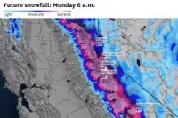

Read Also: Sierra Nevada Winter Storm Watch Issued for Yosemite Through Sunday
Forecasters also warned that heavy rain could bring localized flash flooding, and drivers were told not to travel through flooded roadways. The broader storm pattern could keep producing lightning, hail, strong wind gusts and isolated funnel clouds or tornadoes through the weekend, part of a larger setup that made thunderstorms more likely across California. Those storms are relatively uncommon in much of the state, which is why a tornado warning tied to radar-indicated rotation drew immediate concern as the system moved across the region.
Read Also: Snowsquall Warning Brings 11 Inches to Bemidji as Travel Turns Difficult
The question for residents in the storm's path was not whether the weather could turn violent — forecasters had already answered that — but how much of southwestern Madera and western Fresno counties would be hit before the evening warning expired.


