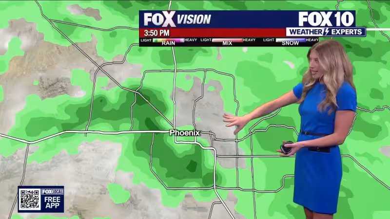
Phoenix got a break from the heat Monday, but only for a day. The Valley topped out at 87 degrees and started the morning at a record-warm 78 degrees as a disturbance crossed Arizona and brought widespread rain to the state’s higher elevations.
The heaviest rain fell along the Mogollon Rim, and the showers were expected to clear from west to east Monday night. Winds were expected to stay breezy in the Valley Monday evening and overnight before calmer conditions settle in Tuesday.
Most of Arizona was expected to wake up to sunshine on Tuesday, though isolated showers could still pop up in far eastern Arizona in the afternoon near Window Rock and St. Johns. Temperatures were expected to rebound back above average, ending the short-lived cool spell that followed near-record warmth on Sunday.


Read Also: Omaha Weather: Snow Advisory Late Monday Before Warm-Up Melts It Fast
The warmer stretch is set to last through Friday. A ridge is expected to keep temperatures about ten degrees warmer than normal across Arizona, with skies dry and mainly sunny during that span. For anyone checking the weather forecast today, the bigger change is not Tuesday’s sunshine but the return of heat that will hold through the end of the workweek.
Read Also: Weather Miami: Flood watch posted as heavy rain threatens Central Florida
The next shift arrives this weekend. Scattered rain is expected to reach all of Arizona, including the Valley on Saturday and Sunday, giving the region another round of unsettled weather after several dry, warm days.


