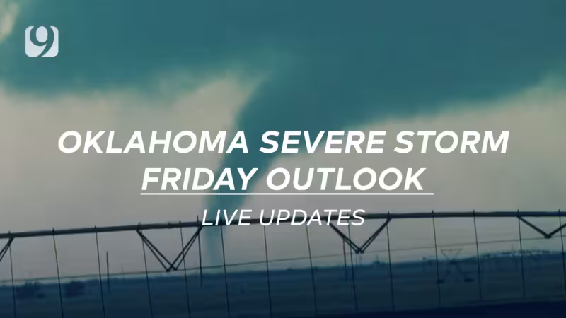
Severe storm chances return Friday across Oklahoma, bringing the threat of damaging winds, large hail and a tornado risk after a dry start in Oklahoma City. Storms could begin developing by Friday afternoon in northern areas along a dryline, then spread south later in the day and overnight.
What makes the forecast matter is not just the broad area it covers but how fast it could turn. If storms form Friday afternoon, they could quickly strengthen into supercells capable of producing large hail and tornadoes. By Friday evening, additional storms are expected to fire along a cold front, shifting the main threats more toward damaging winds and hail, though the tornado risk is not zero.


The threat stretches across Alfalfa, Beckham, Blaine, Custer, Dewey, Ellis, Garfield, Grant, Kay, Kingfisher, Logan, Major, Noble, Nowata, Osage, Pawnee, Payne, Roger Mills, Washington, Washita, Woods and Woodward counties. That broad footprint means the same system could affect communities in northern, central and western Oklahoma over the course of the day, with the strongest storms most likely before the line becomes more widespread.
There is also a clear progression to the forecast. Storms are expected to keep moving south overnight Friday, gradually weakening into heavy rain and small hail as a strong cold front pushes through. A gusty north wind should ease by Saturday morning, and calmer, more comfortable conditions are expected then. The sharp change is what makes Friday a day to watch closely: a dry start, a late-day severe risk and a quieter weekend on the other side.
The setup is being presented as a return of severe weather chances after that dry morning in Oklahoma City, and the timing matters because the most active period is expected to unfold from Friday afternoon into the overnight hours. For people across the counties in the warning area, the question is not whether the weather changes, but how quickly it does once storms get going.


