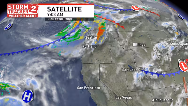
A Winter Storm Warning takes effect at 5 pm Wednesday for the crest of the Cascades and the east face as a robust early spring snowstorm pushes into the region, bringing heavy mountain snow, wind and limited visibility. The warning runs until 5 am Thursday.
The National Weather Service says the heaviest snow is expected Wednesday, with dangerous driving conditions through mountain passes and 6 to 10 inches possible from Santiam Pass to Willamette Pass before sunrise Thursday. Winds are expected to accompany the snow Wednesday evening, making travel even harder.

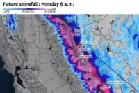

The cold front crosses Wednesday afternoon, and the chance for a wintry mix of rain and snow follows behind it. The best chance for high desert wintry mix precipitation arrives Wednesday night into Thursday morning, when some areas could get about an inch of snow. Most of the snow will stay confined to the mountains, while the high desert sees mostly cold rain because the ground is not frozen.
Conditions begin to improve Thursday late in the morning as drying starts and highs move into the upper 40s. The rebound continues Friday with highs in the upper 50s and Saturday in the middle 60s before more rain returns Sunday. For anyone crossing the Cascades, the immediate concern is the overnight window, when the warning is active and travel will be at its worst.


