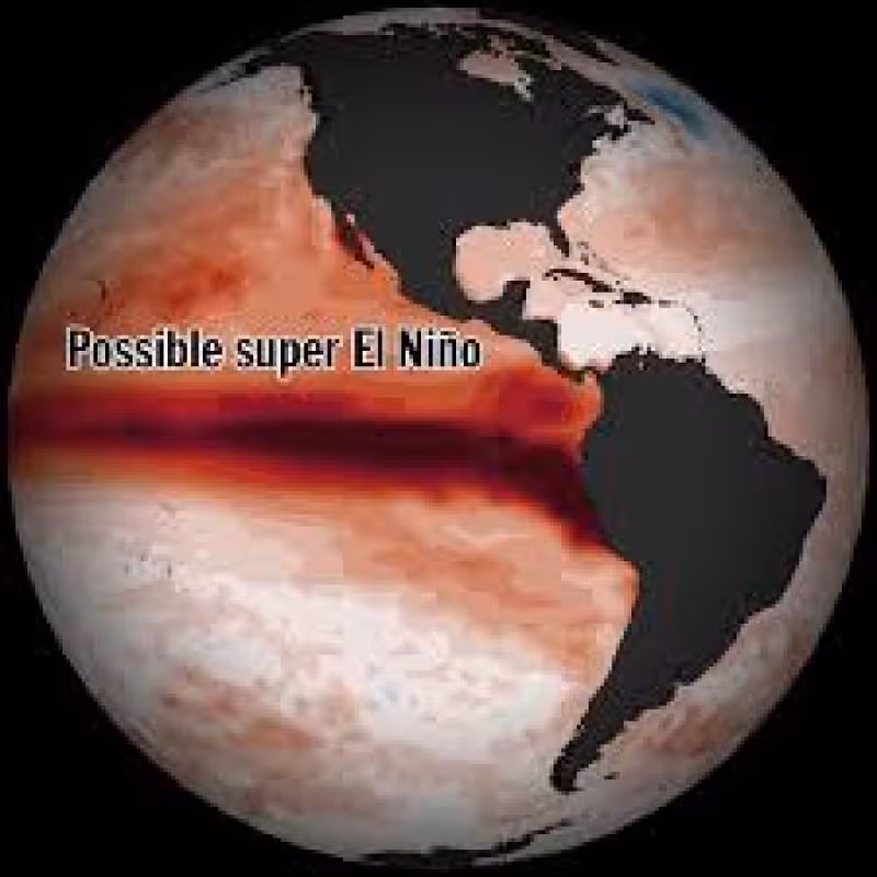
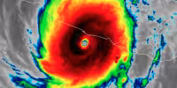
A rare cluster of three tropical cyclones is straddling both sides of the equator in the western Pacific this week, and scientists say the setup is pushing warm water eastward in a way that could help drive a major El Niño event. Paul Roundy called it a burst with “real potential for the strongest El Niño event in 140 years.”
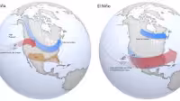
Roundy said the westerly wind burst is sitting west of the warmest water now in the Pacific, which makes it especially efficient at shoving that heat east. He estimated the pattern could produce El Niño within one to two months. This is the latest in a series of powerful wind bursts that have swept the equatorial Pacific since January, ending La Niña and spreading unusually warm water across the surface and deep below it. Each burst has pushed that warmth farther east.
The timing matters because the April seasonal forecast from the European Centre for Medium-Range Weather Forecasts shows virtually all of its models expecting El Niño conditions by mid-June. Roughly half of those models now project sea surface temperature anomalies above 2.5 degrees Celsius by October. A strong El Niño would be likely to reshape weather patterns around the world, and could even push global temperatures to record levels in 2027.
Muhammad Azhar Ehsan said the level of agreement across multiple models is different this year. Forecasters from Australia and NASA are also signaling a strong El Niño, and Ehsan’s research institute is due to release its next official forecast on April 19, with the outlook expected to trend stronger than last month’s. The National Oceanic and Atmospheric Administration is scheduled to update its own projections on Thursday.
The caution is that El Niño headlines do not always translate into the weather people expect. In 2015, forecasters warned that a “Godzilla El Niño” would emerge, but drought-breaking rains did not follow. The Bay Area finished the 2015-16 winter with roughly average precipitation, and Southern California ended at 72 percent of normal. Roundy said the developing event is following an evolution “actually similar to 1997,” a pattern tied to strong El Niño years that brought above-normal precipitation to California. In 1982-83, storms destroyed 33 oceanfront homes. That is the question now: whether this Pacific setup becomes another powerful El Niño, and whether its effects land the way forecasters think they will.


