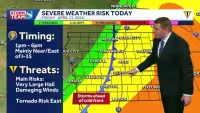
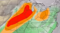
Strong storms are expected to move through the forecast this afternoon, with the main window for severe weather running from 1:00 p.m. to 8:00 p.m. The Storm Prediction Center keeps most of the TV9 viewing area in an enhanced risk, with only the far northwest corner of the northwest zone in a slight risk.
All of the severe storm hazards are on the table. The tornado risk is a little higher in the northeast part of the viewing area, hailstones could reach 2 inches in diameter or larger, and damaging wind is the bigger threat than in the other storms this week, with some gusts topping 70 mph. Storms are expected to move quickly, which can leave little time to react once warnings are issued.
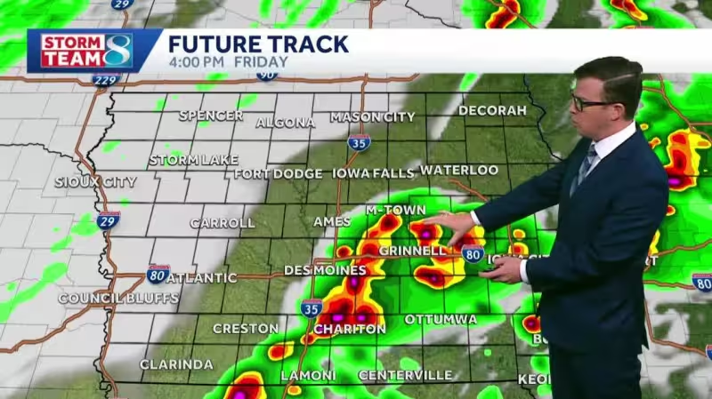
Some isolated cells could pop up early this afternoon, most likely near the cold front moving in, though a few could also form ahead of it. As the front continues through eastern Iowa, it should organize the storms into more of a line, but circulations within that line could still spin up a few tornadoes. That is the part forecasters are watching most closely as the system pushes through.
The stormy stretch is one more round of rough weather before a quieter pattern settles in. Saturday will turn cool, with highs only in the upper 40s to mid 50s and wind gusts reaching 30 to 40 mph. Sunday stays dry, with lows in the upper 20s to low 30s, then Monday starts cold before afternoon highs climb into the 60s. Widespread 70s are likely Tuesday and Wednesday, and both days are expected to stay dry.
The forecast leaves little doubt about the day ahead: the strongest storms are arriving this afternoon, and the highest concern centers on the northeast part of the TV9 viewing area before the pattern finally calms down next week.


