The transition to what forecasters expect to become a Super El Niño is accelerating, and the signal is already showing in the Pacific Ocean. Water temperatures in the central Pacific have begun to warm to the 0.5 degrees Celsius threshold that qualifies as El Niño, with full development expected sometime this summer.
That matters now because the Eastern Pacific hurricane season begins Friday, and the same Pacific pattern could shape the months ahead for the Atlantic basin and the southern United States. Computer forecast models suggest this summer’s El Niño is likely to become a Super El Niño, with central Pacific waters warming to at least 2 degrees Celsius, a level that would place it among the strongest events ever observed.
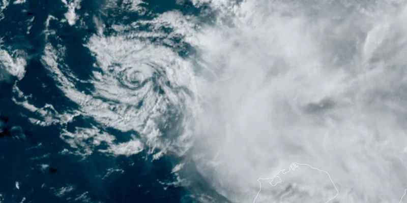
The immediate effect is likely to be felt first in the Eastern Pacific, where El Niño typically increases tropical activity. In the Atlantic, the pattern usually does the opposite. El Niño tends to raise upper-level wind shear, creating a more hostile environment for storm development and reducing the overall number of tropical systems. That is why the developing pattern could suppress the upcoming Atlantic hurricane season even as it fuels more activity farther west.
Forecast models show the most dramatic changes are happening 100 to 200 meters below the surface, where a massive pool of warm water has been building in the Western Pacific and is now sloshing eastward, according to the FOX Forecast Center. That warm water is expected to reach the El Niño zone sometime this summer, reinforcing the shift already underway.
For the Southern Tier of the U.S., the bigger story may come after hurricane season. Forecasters say the developing Super El Niño could spell a wet winter across the region, while the Eastern Pacific sees a more active tropical season. El Niño describes warmer than average water across the equatorial Pacific, La Niña is the colder phase, and ENSO neutral is the near-average state. During El Niño, above-average water temperatures in the central and eastern Pacific Ocean alter atmospheric circulation, strengthening winds that hinder tropical development in the Atlantic and enhance it in the Eastern Pacific.
The tension in the forecast is how quickly the Pacific is changing. Recent data show the transition is accelerating, and there is now a very high probability that El Niño conditions will persist through the end of 2026. If the models hold, the country is not looking at a brief warm spell in the Pacific, but a prolonged pattern with consequences on both coasts and well into winter. The question is not whether El Niño will shape the season ahead; it already is.


