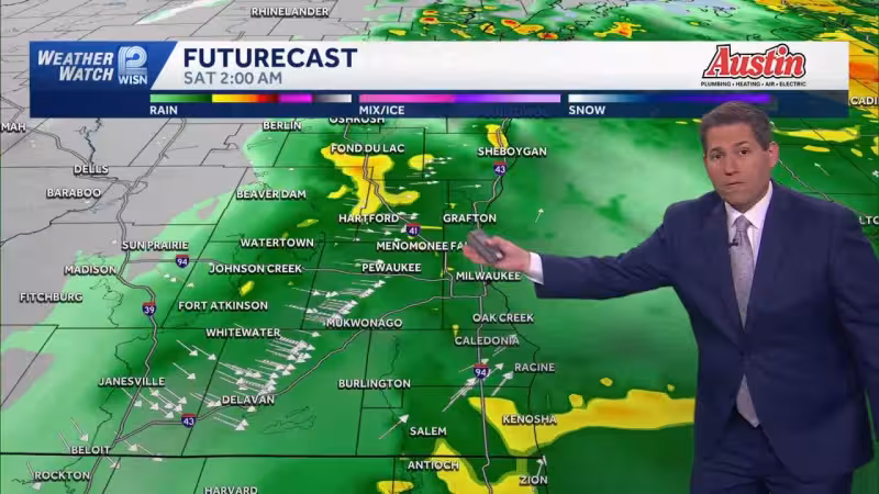
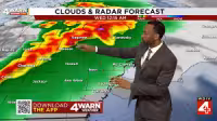
A tornado watch was issued for most of central Wisconsin on Friday as the state moved into the third and final round of severe weather this week. The watch was set to run until 8 p.m., with storms expected to bring hail, strong wind gusts and a few tornadoes during the afternoon and evening.
A severe thunderstorm watch was also in effect until 5 PM Friday, and several counties were under a Flood Watch because rivers were already running high and more heavy rain was possible. Some areas could pick up 1-2+ inches of rain by very late Friday, while highs were expected to reach the low to mid-70s for most of the area and the upper-70s farther south.
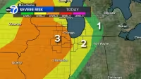
The setup matters because the same storms threatening wind and hail could also add to flooding in places that have already seen water problems. Friday stayed a First Alert Weather Day for that reason, with the threat window stretching into the evening and the worst of the weather expected before a cold front swept through north central Wisconsin after the storms moved out.
That front is expected to deliver a sharp change fast. Temperatures are forecast to drop close to freezing by Saturday morning, with daytime highs only in the upper-30s and low-40s Saturday and wind gusts reaching 35-40 MPH. Sunday should be a little less rough, but gusts could still top out around 20-25 MPH before temperatures climb back into the upper-60s and low-70s by Tuesday next week.
Friday’s storms were the last round in a week of unsettled weather across north central Wisconsin, and the bigger story after they pass may be how quickly the region flips from severe storms to near-freezing air. Next week looks much quieter, with little precipitation expected from Sunday onward through most of the week.


